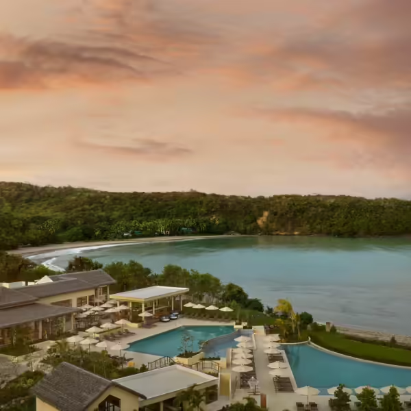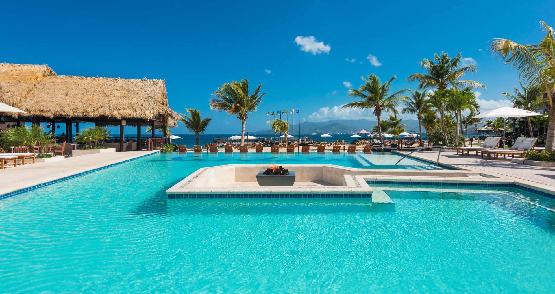
Silversands Promotional Offers
Silversands Promotional Offers Click click here to view all offers
The Grand Etang Forest Reserve, encompassing elevations from 300 meters at St. Cyr to 760 meters at an unnamed peak in the Reserve’s north, displays a combination of ridges, the upper headwaters of over 10 steep-sided coastal valleys and the upper basin of a major tributary of the Great River. The Reserve contains four of Grenada’s highest mountains: Southeast Mountain (712m), Mount Sinai (700m), Mount Qua Qua (713m) as well as the unnamed peak (760m). All of volcanic origin in the Pliocene and Pleistocene Periods, these mountains dominate the physical landscape.
Volcanic activity also contributed to the formation of Grand Etang Lake as a crater lake: one of three explosive craters in the Reserve. Slopes on the flanks of these mountains and connecting ridges are generally in excess of 20 degrees and often in excess of 30 degrees. Grand Etang Lake empties into the tributary of the Great River.
Arawak use of the Forest Reserves is unknown although it is likely that the Reserves were used sporadically for hunting and/or gathering. They may have also been used for ceremonial and spiritual purposes. Grand Etang was a camp for the Caribs.
More recently, in 1796, ongoing conflict between French and British colonists on the Island was settled when the British captured the French stronghold at Fedon’s Camp near Mt. Qua Qua. Associated with the late 18th century conflict, fortifications, including two cannon, were constructed in the Annandale Forest Reserve.
Recreation and tourist facilities, including a visitor centre, viewpoints, trails, picnic shelters, parking, washrooms, vendor stalls and food and beverage concessions have been developed at Grand Etang Forest Reserve.
The facilities, with the exception of the trails, are managed by the Ministry of Economic Development, Planning, Tourism, ICT, and the Creative Economy. The trails and surrounding forest resources are managed by the Department of Forestry and National Parks.
The Department also maintains a small, two hectare nursery in the Grand Etang Forest Reserve. The nursery provides plantings for the Reserves as well as other public and private lands requiring replanting and grows Christmas trees for seasonal sale.
Fees
Visitors- XCD $5.34 or USD $2.00
At the heart of the Grand Etang Forest Reserve is the Grand Etang Lake, a naturally occurring body of water set in the crater of an extinct volcano. This fresh water lake is 530m above sea level and is approximately 36 acres in area. You can either choose to have a picnic and relax, while enjoying the beautiful expanse of water with the towering Mt. Qua Qua creating a stunning vista in the distance or have an adventure on the lakeshore trail in which you can discover the rich biodiversity (Flora and Fauna) surrounding the lake. Common sights include colourful tropical birds, species of frogs, lizards and brilliant blooms that punctuate the dense rainforest vegetation. The lake is also home to a variety of fish that range from black to a brilliant coppery gold. Have your camera ready to capture stunning photos in this most picturesque location.
Hikes at Grand Etang range from easy 15 minute jaunts to rigorous expeditions of several hours. The trails are quite good, and the Forest Reserves provides excellent tour guides. Below can be found detail descriptions of the established trails which can be found within the forest reserves:
Morne LaBaye
This 200 metre trail links the Grand Etang Visitor Centre to a viewpoint overlooking the eastern portion of the Grand Etang Forest Reserve, including the watershed of the Great River, as well as Grenville and the Atlantic Ocean. The trail passes through a representative example of the Cloud Forest.
Beausejour
This 300 metre ridge-crest trail, south of the Visitor Centre, passes through Elfin Forest and offers views of the Annandale Forest Reserve, St. George’s, Point Salines and the Caribbean Sea.
Shoreline
The two kilometres long Shoreline Trail loops around Grand Etang Lake. Although often wellback from the lake’s shoreline, the trail offers glimpses of the Lake and the Mount Qua Qua ridge and passes through a variety of tropical forest environments, including habitat for the Mona Monkey.
Mount Qua Qua
The three kilometre long (one way) Mount Qua Qua Trail links the Visitor Centre complex with Mount Qua Qua. Located along the ridgeline, in the Cloud Forest, the trail offers numerous viewing and interpretive opportunities.
Concord
This trail links the Village of Concord with the Grand Etang Forest Reserve and the Visitor Centre complex. Some six kilometres in length (four kilometres in the Forest Reserve), the trail begins at the Concord Waterfall development at the end of the Concord Road and follows the valley and stream environment upwards until it joins the Mount Qua Qua Trail at the ridgeline.
Seven Sisters Trail
This five kilometre trail branches off the Cross Trail and follows the stream as it descends through the rainforest to the series of waterfalls, terminating at St. Margaret’s Falls. The trail connects with the private trail at St. Margaret’s.
Annandale Trail
The six kilometres Annandale Trail follows an old estate road. Some four kilometres is within the Forest Reserve and the remaining section is on private land. With little change in elevation, the trail meanders past active forest plantations and remnants of estate plantations of cloves, citrus and nutmegs, erased by Hurricane Ivan (7 September 2004). Opportunities to highlight the history of the estate, including its role in the later 18th century rebellion, its natural recovery from natural disaster and its significance now as a protected area, are evident.
Vendome-Les Avocats Trail
This three kilometre rainforest trail follows the historic link from Vendome to Les Avocats.
Cross Trail
The five kilometres Cross Trail links Hurricane Ridge with the Grand Etang Visitor Centre complex and offers opportunities for tropical rainforest interpretation.
Fedon’s Camp
Trail Fedon’s Camp Trail links Fedon’s Camp with the Concord-Visitor Centre complex trail. The Trail has historic significance with the 18th century rebellion.
The lush vegetation provides shelter for a wide variety of animals, particularly for the island’s many species of birds. In addition, Grand Etang is populated by plenty of frogs and lizards, as well as playing host to opossums, armadillos, mongoose, and the Mona monkey.
Mona Monkey (Cercopithecus mona denti) -is an Old World monkey that lives in western Africa between Ghana and Cameroon. The Mona monkey can also be found on the island of Grenada as it was transported to the island aboard slave ships headed to the New World during the 18th century. This guenon lives in groups of up to thirty-five in forests. It mainly feeds on fruit, but sometimes eats insects and leaves. The Mona monkey has brown agouti fur with a white rump. Its tail and legs are black, and the face is blue-grey with a dark stripe across the face. The Mona monkey carries food in cheek pouches.
Birds – The broad winged hawk (known here as the gree-gree), Lesser Antillean swift, Antillean euphonia, purple throated carib, Antillean crested hummingbird (known as the Doctor Bird) and the Lesser Antillean tanager (known as the soursop) are all common sights. Avifauna (birds of this habitat) at the lake include ospreys (Pandion haliaetus), herons (fam. Ardeidae), spotted sandpipers (Actitis macularia) and Caribbean coots (Fulica caribaea), which use the lake for feeding. There is no recorded evidence that bird species use the vegetation of the Grand Etang Lake for nesting.
Other game species– are often found in the forested area of the watersheds and includes the Ramier (Columba squamosa), Manicou (Didelphis marsupialis insularis), Tatou (Dasypus novemcinctus) and Agouti (Dasyprocta sp.).
The ‘Grenada Frog’ Pristimantis euphronides (formerly Eleutherodactylus euphronides). The shore of Grand Etang is the place where this 3-4 cm small frog has been discovered in 1961, and the described for science in 1967 (Schwartz 1967). This frog is endemic to Grenada and only occurs in central and southeast Grenada at elevations higher than 300 m, and hence represents a regional natural heritage of special importance. Therefore, it is suggested to use this species as a flagship species for nature conservation and nature tourism in Grenada. The species has also been classified as ‘endangered’ by the International Union for Conservation of Nature (IUCN).

Silversands Promotional Offers Click click here to view all offers


Details on what a visitor can expect from a Pure Safe location goes here
Although the beautiful islands of Carriacou and Petite Martinique have been affected by Hurricane Beryl, we are on our way to recovery and have started welcoming visitors to our shores once again. As we continue to rebuild, please use the following link for updates on getting there, where to stay and what to do.
Although the beautiful islands of Carriacou and Petite Martinique have been affected by Hurricane Beryl, we are on our way to recovery and have started welcoming visitors to our shores once again. As we continue to rebuild, please use the following link for updates on getting there, where to stay and what to do.
Beachbound.com will fund a $250 promotional code value exclusive to James Bead Organization for event bookings

